
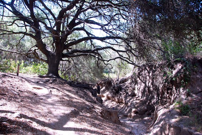
Thomas F. Riley Wilderness wasn’t very big: we rounded the loop in under two hours despite the heat. The park’s bottom lands were covered by some fine live oak forests offering cool shade and thick with poison oak. Much of our route, though, was through open grasslands where the sun burned through our hats. The best part of the journey was the trail end known as Skink Point. The interpretive sign directed you to look at the Santa Ana mountains, but I found the best view lay behind us:
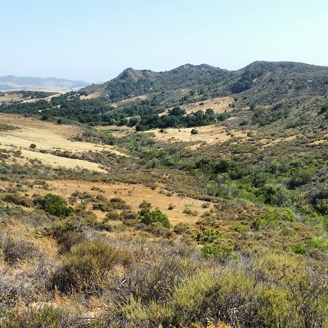
Skink Point Vista
The expanse stretched only a few hundred yards yet there was a sense of a grander landscape. A Facebook friend who saw this photo thought the area to be much larger and expected us to return only after walking across it for several hours. We hiked from Skink to Horned Toad Point — the summit of the trail near the craggy hills — in less time than it took me to prepare dinner at home that evening. Explanatory placards in the brush and at the edge of grasslands promised wildlife sightings such as deer, coyotes, and mountain lions. I only saw soot-colored lizards doing pushups and a couple of cottontails who paused to give me a hard sideways glare before they disappeared into the yellow grass. There was a promising crash in a patch of coyote brush, oak, and toyon, but I never saw what caused it.
Elsewhere, I wrote:
Riley’s not much of wilderness when you count the acres, just like its namesake wasn’t much of an environmentalist. It was set aside, mostly, for two purposes: to deflect criticism that land wasn’t being preserved in its natural state and to give the people of Dove Canyon a park where they could ride their horses.
Throughout the reserve, you find traces of the old cattle ranching days and of the adjacent urbanality of Orange County’s great gated community where within the larger secured fence, I am told by a friend, you find smaller secured fences around each micro-estate — as if people could not trust their paid security guards at the border checkpoints from keeping out the riffraff. Or maybe it is their neighbors they fear. Or themselves.
Wealthy benefactors from the adjacent community have made Riley the best outfitted of the county’s wilderness parks with numerous places to rest and interpretive signs at key points. (This certainly beats the situation at Whiting Ranch where there is one interpretive sign mounted in several different places.) These preserved lands don’t go unused and unappreciated by the residents. I met an Asian family along the Mule Deer Trail who were lugging camera gear towards a plump woman in white standing with a pair of sleeping twins in a stroller. “Wedding picture?” I asked. “No, maternity photo. She’s a beautiful mother.”
And she was.
Pheasant Run Trail, Riley Wilderness Park, June 8, 2014
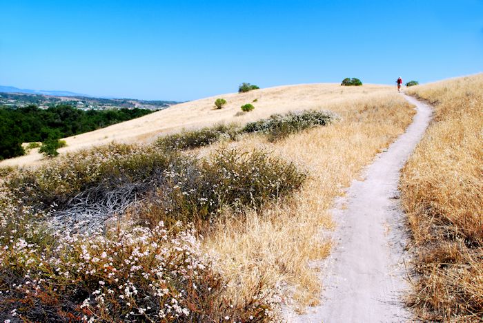
Pheasant Run Trail, Riley Wilderness Park, June 8, 2014.
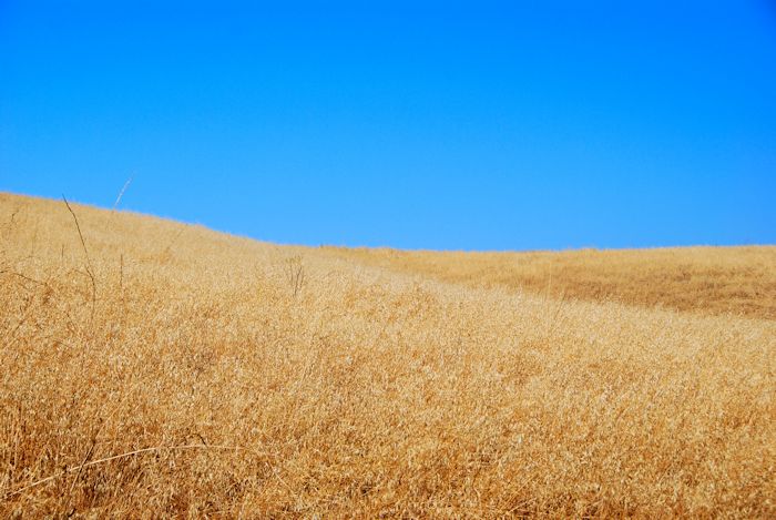
Grassland, Riley Wilderness Park, California, June 8, 2014.
The location of this trail can be found on the Orange County Back Country map.

you take some great photos!
Pingback: Noli Irritare Leones » My husband’s new hiking blog