Category Archives: Trails

Tales of trails, what I found, and where I went.

Canyon de Chelly: Parks and the Expectation of Privacy

Invasion of Privacy

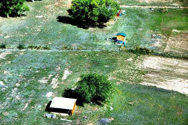
The sign is clear and unequivocal: Private Property. No Photography. The area behind the sign is empty. There are no buildings, no livestock. What doesn’t the landowner want you to see? As you follow the chain link fence towards White House Ruin, stands of cottonwoods and green brush block the view. Glimpses through the trees reveal that there is something there — a house or a barn. You continue on to the ruin where you meet vendors selling jewelry and crafts. On the way back, you see other tourists photographing the sign.

Many national parks and monuments contain private land, some more than others; so Canyon de Chelly is not unique. Some overlooks (such as the one above) let you look down into the lives of the farmers and sheep herders who make the canyons their home. You might ask “What is the problem?”

Continue reading

  • Share on Tumblr

In the Company of Birdwatchers

The little bird working the edge of Pond 1 looked like a chicken to me. A small chicken that poked its beak in the water.

“Anything interesting?” another birdwatcher asked.

“I don’t know,” I said. “I’ve been looking for the Orange Bishop.”

Oh he’s over there,” said the newcomer. He looked for it. “I saw him from a different angle.” He walked back to where he had been standing. His wife pointed to it and we found it by triangulation.

“Anything else?” he asked.

“Well, I think I’ve seen a rail. It’s been running in and out of those reeds.” I nodded down the embankment. This piqued the couple’s interest. “A rail? Do you know what kind?”

“I don’t know my rails very well,” I said. “I’d have to look it up.” It was true. Until I investigated my guidebooks and web apps, I had had no idea that coots were related to rails. Made sense because coots looked an awful lot like these little birds. Several birders joined us. The rails came out of the reeds and waded into the shallow water. A middle-aged East Indian gentleman with the biggest set of binoculars that I had ever seen slipped behind us and asked in a voice just the slightest of tones past a whisper “Anything interesting?”

I told him about the rails. He looked at them through his lenses. “Sora,” he announced. “Look at the yellow bill.” Another rail came out of the reeds. “Down there is a Virginia Rail. Dark beak. That is how you tell them from the soras.” Everyone was excited about the rails, even more excited that they were about the Orange Bishop. I had hit on the Popular Thing of the moment.

“It’s a good day when you see a new bird,” said the expert. Yes, it was.
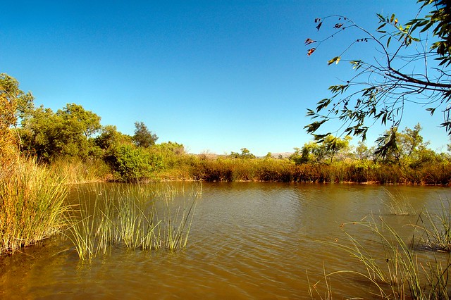
San Joaquin Pond

Continue reading

  • Share on Tumblr

Night Hikes

Sunset at Baker Canyon

Sunset at Baker Canyon

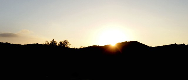
The sun had set behind the rocks at the point where Baker Canyon meets Santiago Creek. A whitish glow lingered in the west. Against this a bat appeared and pumped its wings. The hike leader pointed at it. Mexican Free taileds were known to roost near here at a place called the “Bat Bridge”. I looked to see if it had a tail. It flew overhead and became lost in the darkness.

Three nights later we saw another one on the Hicks Haul Road. A 12 year old boy spotted this one. The little Chiropteran had sneaked up on us. I saw it for only a few seconds. “Did it have a tail?” I asked.

Continue reading

  • Share on Tumblr

Bland Country

Peaceful Valley

Peaceful Valley with Camp Pendleton in the background

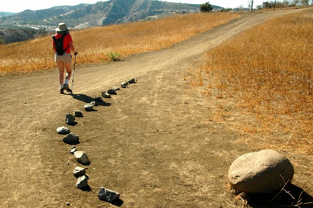
“You’re the first person we’ve seen on this trail this afternoon,” I said to the mountain biker riding toward me.

“There’s a woman hiking alone back there,” he said.

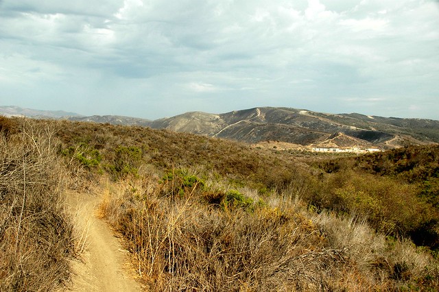
“That’s my wife,” I said. “We’re turning back.” I put my walkie talkie to my mouth and gave Lynn the news. We’d done enough of this trail. The sun was beginning to come down and there was just more of the empty sage scrub and dead meadows that had accompanied our footsteps from the start of our walk in the back country portion of San Onofre State Beach.

Continue reading

  • Share on Tumblr

Cheating on Four Wheels at Limestone Canyon

Oak Tree in Limestone Canyon

Oak Tree in Limestone Canyon

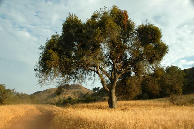
“This feels like cheating,” I kept saying. I had hiked to this point from two different directions: along the Limestone Canyon Trail from the Augustine trail head and up the more difficult Agua Chinon route. A four wheel drive truck with ten seats in the back brought us to the brink of Limestone Canyon Wilderness Park’s most famous natural landmark, the “Little Grand Canyon” or “The Sinks”. The differences that made the journey worthwhile were that riding in the truck allowed me to carry two cameras instead of one and we were there in the late afternoon, a pleasure denied those who took advantage of open access days and midweek hikes up Agua Chinon Canyon.

My company consisted of Lynn, a woman we knew from the Journey to the Middle of Nowhere named Liz, a quiet man with a Tamron camera, another man with a background in geology who was not so quiet but interesting nonetheless, two elderly women with blonde hair on their faces, another old woman who we had met on the JTTMON tour, and more docents than you could shake a stick at.

Continue reading

  • Share on Tumblr

The Summer Desert of Santiago Oaks

Walking Grasshopper Ridge

Walking Grasshopper Ridge

We’d never been to Santiago Oaks Regional Park even though we’d lived only half an hour away, so we laded ourselves with plenty of water and drove down Santiago Canyon Road to find it. After nearly missing the turn, we followed a confusing set of bends through a wealthy neighborhood that brought us to the main gate and the parking lot.

Eucalyptuses dominated the forest. Pines and a couple of exotics that I did not recognize filled much of the space. Laurels and sycamores thronged the wash. Oaks seemed scarce aside from a few oft-photographed trees along the Santiago Creek Trail and a few youngsters planted as part of a restoration project.

Continue reading

  • Share on Tumblr

Going Down to Aliso Peak

Aliso Peak:  Bench Mark

Aliso Peak: Bench Marker, July 13, 2014

Lynn and I decided we needed a short hike after our storming of Black Star Canyon the day before, so we headed down to Laguna Niguel and parked the car at Seaview Park for the downhill walk to Aliso Peak.

Yes, you read that right.

Lynn asked me a second time if I was sure about what the guidebook had said.

“Yes, it is downhill,” I said.

“How do you do that?”

“You’ll see.”

Continue reading

  • Share on Tumblr

Going in Circles in Black Star Canyon

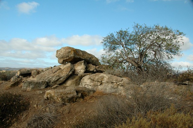
Rocks along Silverado Creek Trail

Rocks Along the Silverado Creek Trail, July 12, 2014

It was my intention to arrive early before other hikers obliterated the tracks of the previous night, but my punctuality didn’t help: at least one docent preceded me and other walkers passed me so there was nothing to see other than scat by the time I scanned the trail. Saturday offered another open access day on which the general public could explore the lands to the east of Black Star Canyon Road. We picked up our lime green passes at the registration table, walked up the road, and started our journey into the dry forest of Baker Canyon. Eucalyptus gave way to live oaks and sycamores as we marched further in. Baker Meadow was lovely even with the dead grass. Coyotes were eating some kind of pitted fruit — the cactus hadn’t ripened yet so it wasn’t that — and leaving purplish mounds in the middle of the path. We lost the forest canopy and trudged up the Hall Canyon Trail — a hard climb that led to a mercy of switchbacks and a crest over which we passed to get to the flood plain of Silverado Creek.

Continue reading

  • Share on Tumblr

Bear Canyon Eternities

“You know,” I said to the man with only a water bottle on the last stretch of the Bear Canyon Trail, “this is the longest 1.1 miles I have ever walked. It never seems to end.”

“I was thinking the same thing,” he said.

“I’m not even halfway there,” I cried.

“No, Four Corners is just ahead.”

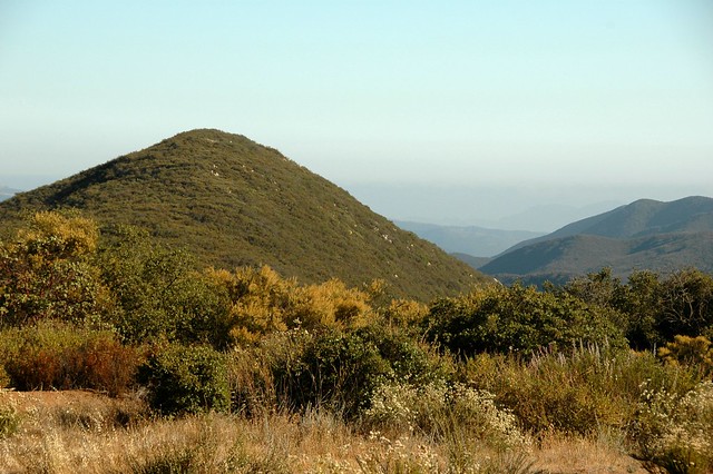
So it was. I walked into the sparsely seeded meadow where the trails met just a couple of minutes later. The view amazed me: mile upon miles of uncut, unburnt chaparral. The elfin forest grew upwards to twenty or more feet on either side of the trail. Chamise blossomed at the edges of the open tract, offering itself as a foreground subject for every photo I took.

Bluewater Canyon from 4 Corners

Bluewater Canyon from Four Corners, Cleveland National Forest


Continue reading

  • Share on Tumblr

Quail Hill and Fox Run

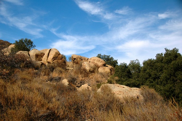
Rocks Along the Quail Hill Trail

Outcropping Along the Quail Hill Trail, June 18, 2014

The chaos of rocks offered a challenge that proved too formidable for me. I can handle steep hills as long as I can set a steady pace. Fox Run’s boulders gave me no quarter, no opportunity for rhythm, no chance to stop and enjoy the view. The whole of my concentration was given to getting around the next stony protuberance. So I struggled, resting between outcrops to gather my strength and sweating like I was in Miami. When I conquered the last and relatively easy third of the trail — which was precipitous but smooth — I felt nauseous. Some kind of problem — maybe blood sugar, maybe dehydration — tormented me and I could blame that problem on the path I had just clamored up. Unequivocally.

Continue reading

  • Share on Tumblr