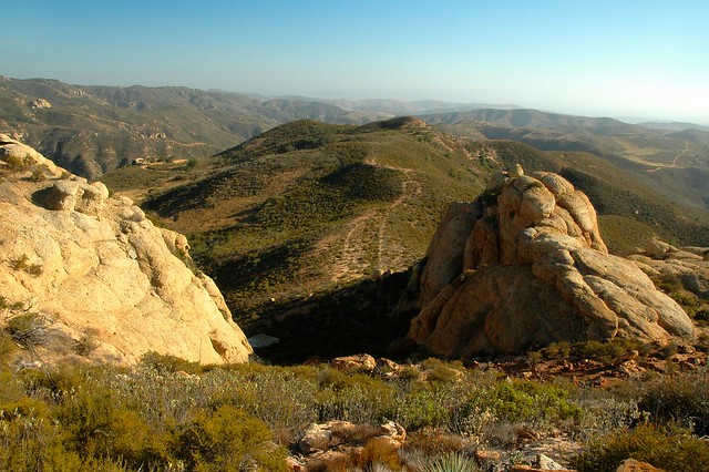
Lynn has been out of town in observance of her mother’s eightieth birthday for the past several days so I had a weekend to fill. Going to hiking meetups seemed the thing. The first one taught me the importance of carefully noting the meeting place. Just because a prominent trail begins in a county park, do not assume that the members will gather there or that you will hike the whole length of the trail. The Arroyo Trabuco trailhead that I know lies in O’Neill Regional Park. I arrived there shortly before the departure time to find the lot empty except for a sports car and an oversized pickup truck. Only a couple of bikers on their way back from a ride lingered at the beginning so I wondered if I had chosen the wrong date or time. The network was thankfully connectible, so I installed the Meetup app and discovered that I was there at the right time, but — this took awhile to sink in — at the wrong place. The organizer had chosen a spot two and a half miles away, so I hoofed it over a path thick with stones the size and shape of prehistoric eggs until I caught up with the other hikers — who were on their way back.
Monthly Archives: June 2014
Rattlesnake Season
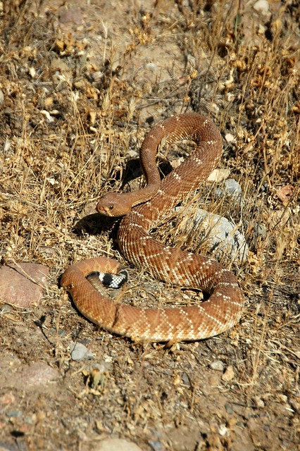
The last rattlesnake I saw was wending its way down the Santiago Ranch Road from Vulture View in Whiting not two weeks ago. I looked up a little from my habitual scan of the trail and saw it, a fine copper-colored specimen with a set of black and white rings separating its diamondback from its bone-colored rattle. It ignored me, but I still had the problem of getting around it. So I scooted to the far side of the broad fire road and ventured a step at a time past it. The serpent would turn at me, flick its tongue, and threaten to rattle. I froze, held my pose for a second, took a picture, and then moved a little more. Once I got in front of it, the snake could contain its wrathful fear no more: it pulled itself into a loose coil and furiously shook its tail.
My count is up to five since February. I met four of them in Whiting and one in O’Neill. Word is that animal control officers are seeing more rattlesnakes than usual this season. Where there are rattlesnakes, there are snake bites, which is why I scold those who walk through their territory in bare feet, something I never do outside the condo — even on the street where I live.
When I met the first snake along the Vulture View Road, I did not see it until I put my foot down inches from its face. The rattler immediately encircled a deerweed and began its manic percussion. I jumped and scooted several feet away. My wife — who had walked by the spot a minute or so ahead of me — heard my habitual cry of distress which I don’t care to write about here and kept going. She thought I was having a fight with my camera. I immediately aimed and took a picture from a safe distance.
Bear Canyon Eternities
“You know,” I said to the man with only a water bottle on the last stretch of the Bear Canyon Trail, “this is the longest 1.1 miles I have ever walked. It never seems to end.”
“I was thinking the same thing,” he said.
“I’m not even halfway there,” I cried.
“No, Four Corners is just ahead.”
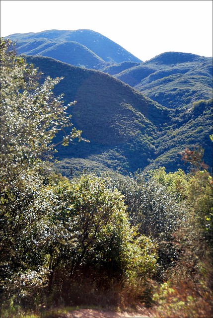
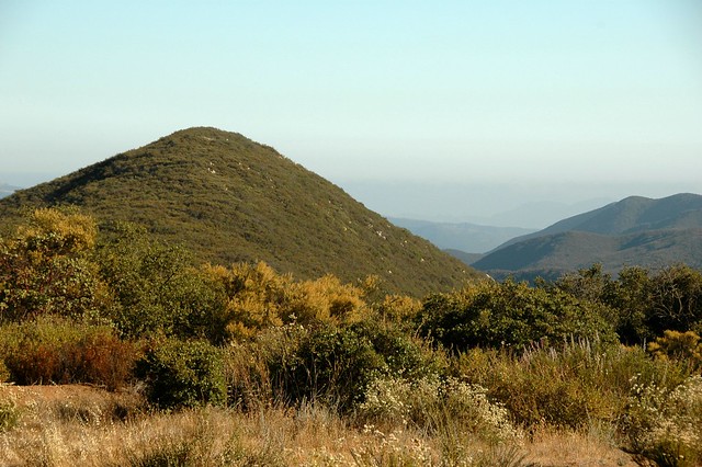
So it was. I walked into the sparsely seeded meadow where the trails met just a couple of minutes later. The view amazed me: mile upon miles of uncut, unburnt chaparral. The elfin forest grew upwards to twenty or more feet on either side of the trail. Chamise blossomed at the edges of the open tract, offering itself as a foreground subject for every photo I took.
Continue reading
A New Project
Started a nature journal today. Here is what I did: First, I purchased a notebook that I liked. The brown leather cover contrasted with the black moleskines I had purchased for other purposes. The only mistake that I made in retrospect was that I bought ruled pages instead of graphs. Graphs made it easier to draw maps and pictures. Photos from my camera would have to suffice for many things.
When I arrived at the place where I began my walk, I noted the time, the temperature, and the elevation. My GPS’s batteries had died after a long dormancy, so I resorted to a Samsung Galaxy app called “S Baro” which gives you the elevation within fifty feet based on the barometric pressure. I also made a mental note to put fresh batteries in the GPS.
Quail Hill and Fox Run
The chaos of rocks offered a challenge that proved too formidable for me. I can handle steep hills as long as I can set a steady pace. Fox Run’s boulders gave me no quarter, no opportunity for rhythm, no chance to stop and enjoy the view. The whole of my concentration was given to getting around the next stony protuberance. So I struggled, resting between outcrops to gather my strength and sweating like I was in Miami. When I conquered the last and relatively easy third of the trail — which was precipitous but smooth — I felt nauseous. Some kind of problem — maybe blood sugar, maybe dehydration — tormented me and I could blame that problem on the path I had just clamored up. Unequivocally.
Journey to the Middle of Nowhere
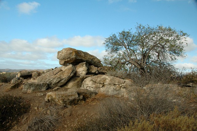
The Middle of Nowhere lay on the line between the Cleveland National Forest and the Fremont Canyon Nature Preserve, among a collection of rocks called “Little Yosemite”. Massive boulders rose from the endless thicket of sagebrush, chaparral mallow, laurel sumac, and — the notorious fire starter — chamise. Some outcrops suggested the skulls of alien monsters, others had descriptive names like the Lizard, the Lamb, and R2D2. The cliffs faced the Santa Anas on one side and the Chino Hills on the other. You could see as far as the San Gabriels which rose from a smoggy valley of steel, concrete, and automobile congestion.


