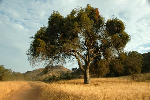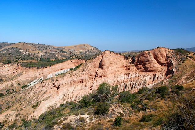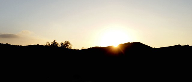
Sunset at Baker Canyon
The sun had set behind the rocks at the point where Baker Canyon meets Santiago Creek. A whitish glow lingered in the west. Against this a bat appeared and pumped its wings. The hike leader pointed at it. Mexican Free taileds were known to roost near here at a place called the “Bat Bridge”. I looked to see if it had a tail. It flew overhead and became lost in the darkness.
Three nights later we saw another one on the Hicks Haul Road. A 12 year old boy spotted this one. The little Chiropteran had sneaked up on us. I saw it for only a few seconds. “Did it have a tail?” I asked.