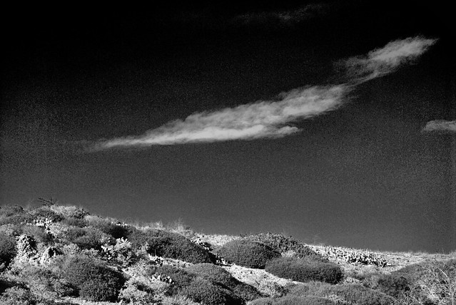
Feather Cloud, Crystal Cove State Park, March 30, 2014

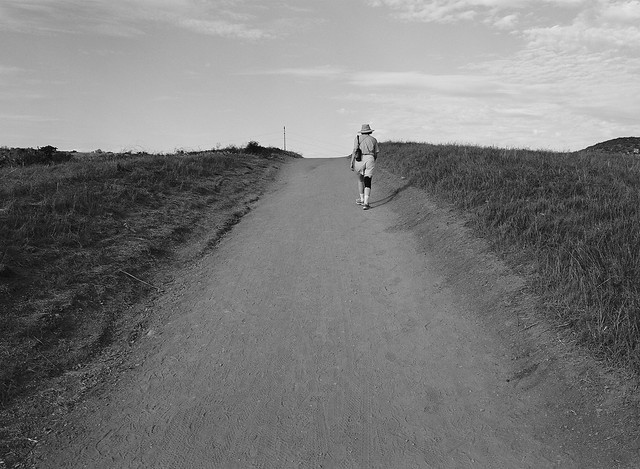
“You know,” I said to the man with only a water bottle on the last stretch of the Bear Canyon Trail, “this is the longest 1.1 miles I have ever walked. It never seems to end.”
“I was thinking the same thing,” he said.
“I’m not even halfway there,” I cried.
“No, Four Corners is just ahead.”
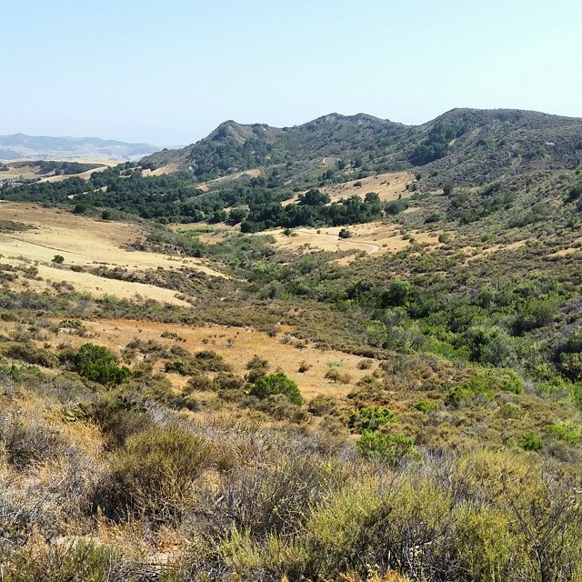
So it was. I walked into the sparsely seeded meadow where the trails met just a couple of minutes later. The view amazed me: mile upon miles of uncut, unburnt chaparral. The elfin forest grew upwards to twenty or more feet on either side of the trail. Chamise blossomed at the edges of the open tract, offering itself as a foreground subject for every photo I took.
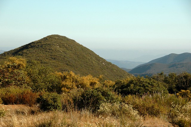
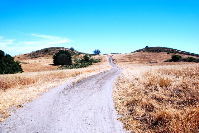
Bluewater Canyon from Four Corners, Cleveland National Forest
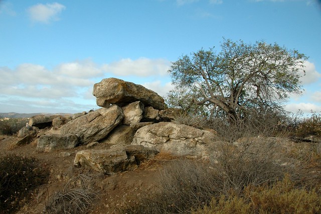
Outcropping Along the Quail Hill Trail, June 18, 2014
The chaos of rocks offered a challenge that proved too formidable for me. I can handle steep hills as long as I can set a steady pace. Fox Run’s boulders gave me no quarter, no opportunity for rhythm, no chance to stop and enjoy the view. The whole of my concentration was given to getting around the next stony protuberance. So I struggled, resting between outcrops to gather my strength and sweating like I was in Miami. When I conquered the last and relatively easy third of the trail — which was precipitous but smooth — I felt nauseous. Some kind of problem — maybe blood sugar, maybe dehydration — tormented me and I could blame that problem on the path I had just clamored up. Unequivocally.
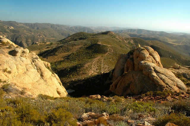
Little Yosemite, Cleveland National Forest, California, June 15, 2014
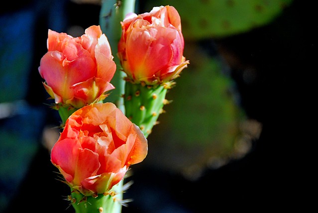
The Middle of Nowhere lay on the line between the Cleveland National Forest and the Fremont Canyon Nature Preserve, among a collection of rocks called “Little Yosemite”. Massive boulders rose from the endless thicket of sagebrush, chaparral mallow, laurel sumac, and — the notorious fire starter — chamise. Some outcrops suggested the skulls of alien monsters, others had descriptive names like the Lizard, the Lamb, and R2D2. The cliffs faced the Santa Anas on one side and the Chino Hills on the other. You could see as far as the San Gabriels which rose from a smoggy valley of steel, concrete, and automobile congestion.
Our midweek adventure — a scheduled event of the Irvine Ranch Natural Landmarks conservancy — took us four and a half hours to finish, counting the short breaks at The Sinks and Box Spring. The trail began at a notorious local dead end. We followed the water lines up Agua Chinon (“wavy water”) Canyon with no real trouble until we hit a steep loma as hellish as the south slope of Whiting’s Dreaded Hill. The summit brought us face to face with the western section of The Sinks
An inland sea or lake deposited the layers that appear in The Sinks formation about 40 million years ago. A long period of wet weather — sometime in the last million years — super-saturated the hills and caused the looser soil to slide away. The badland that was left exposed layers of harder red and white sediments that draw hikers and bikers to special “open days” at the Limestone Canyon Wilderness Park.
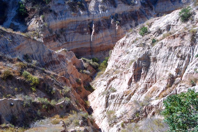
The Sinks from the Observation Deck, June 11, 2014
Thomas F. Riley Wilderness wasn’t very big: we rounded the loop in under two hours despite the heat. The park’s bottom lands were covered by some fine live oak forests offering cool shade and thick with poison oak. Much of our route, though, was through open grasslands where the sun burned through our hats. The best part of the journey was the trail end known as Skink Point. The interpretive sign directed you to look at the Santa Ana mountains, but I found the best view lay behind us:
Skink Point Vista
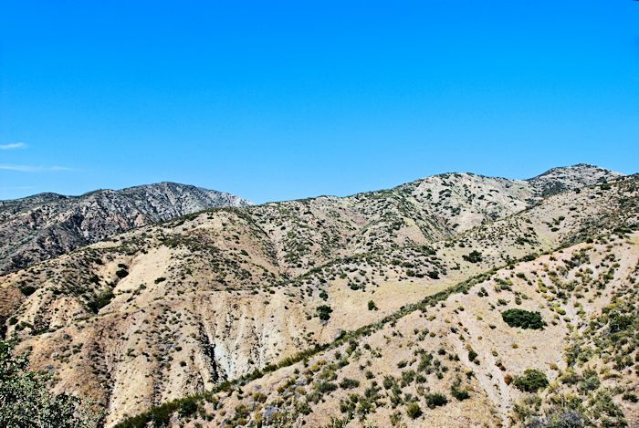
Mount Phil K. Dick and foothills, June 1, 2014
I say this too often: “They call it the Harding Trail because it is hard.”
The fire road begins at the Tucker Wildlife Sanctuary where you find the only trees that shade the trail during midday in the first five miles. It winds up the foothills that lie between the Santiago Creek watershed and Harding Canyon, sometimes curling like a sidewinder and sometimes vaulting straight like a javelin. I don’t hike it much in the summer because I have already had my encounter with heat exhaustion and it wasn’t fun.